As we approach the 80th anniversary of D-Day I visited the village of Warsash on the River Hamble. Today Naval vessels and Landing Craft have been replaced by pleasure boats.


As we approach the 80th anniversary of D-Day I visited the village of Warsash on the River Hamble. Today Naval vessels and Landing Craft have been replaced by pleasure boats.
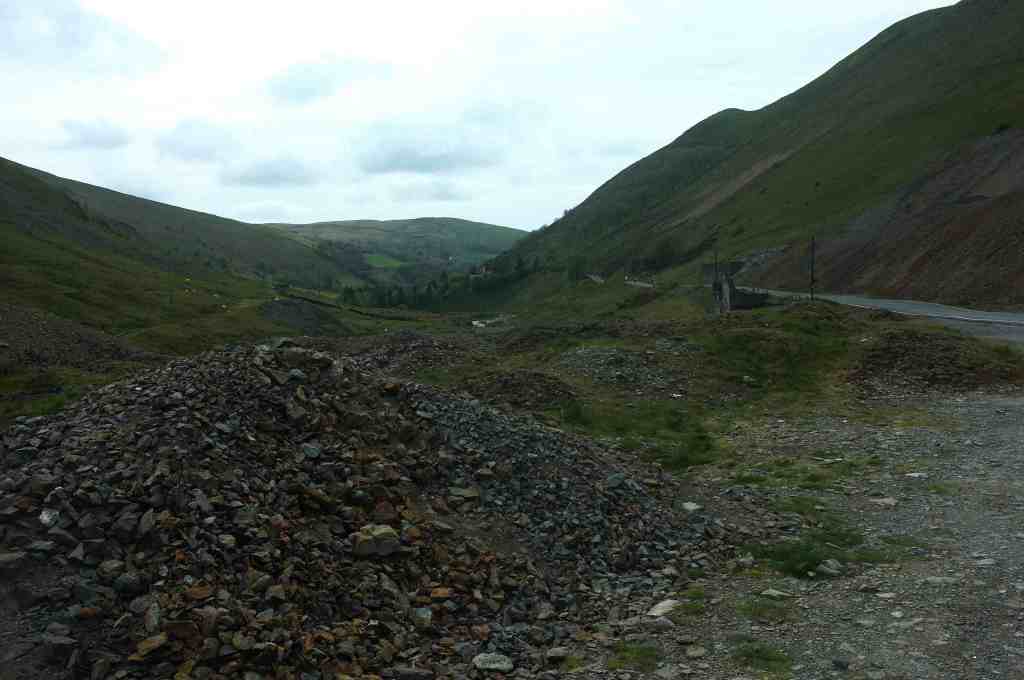
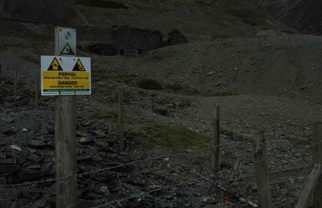
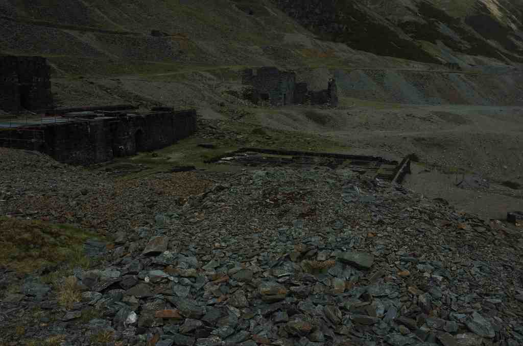
The Cwmystwyth Mines site has extensive remains of lead and other non-ferrous metal mines. The site was first mentioned in 1535, although much earlier workings were known to have existed. Today even on a sunny day the site looks dark and dead. On much of the site little grows due to the contamination of the soil.


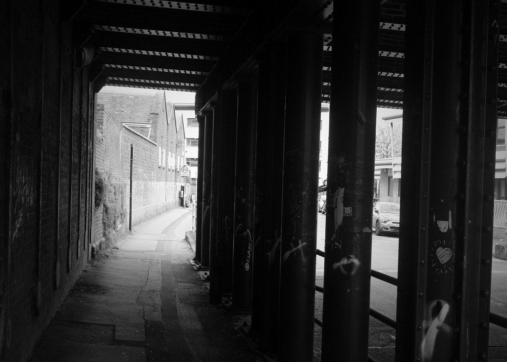
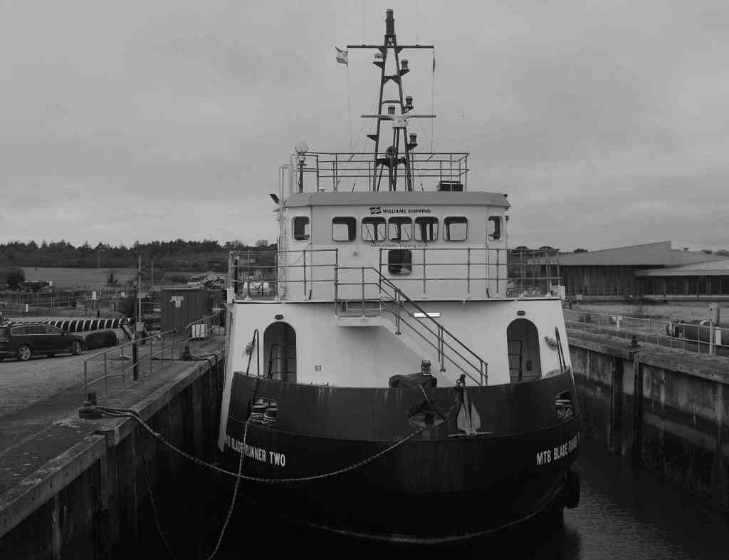
Around the docks. Southampton. Street Life


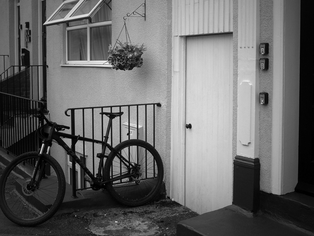

#Wordless Wednesday
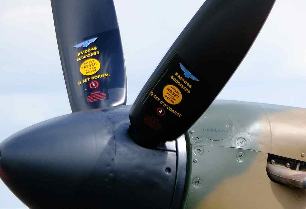
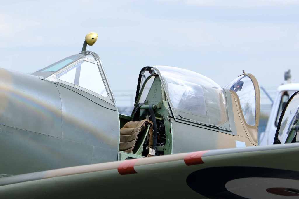


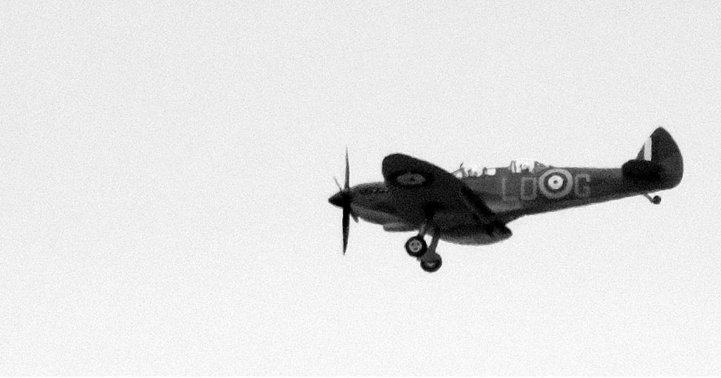
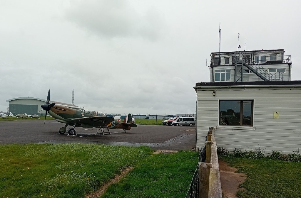
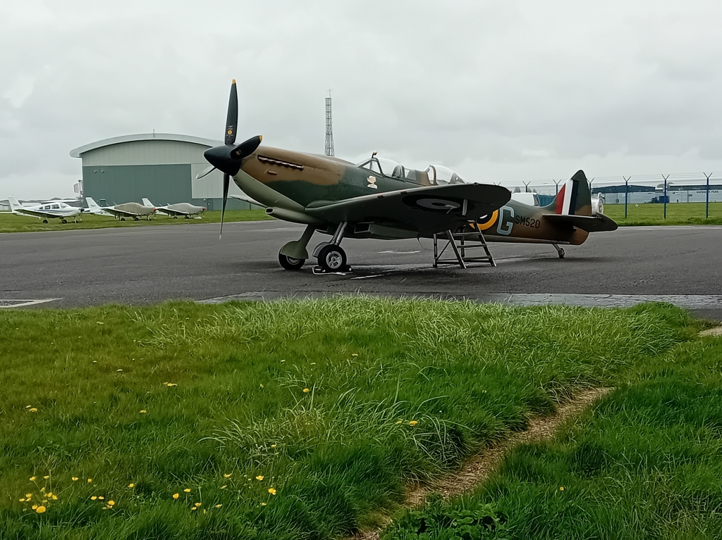
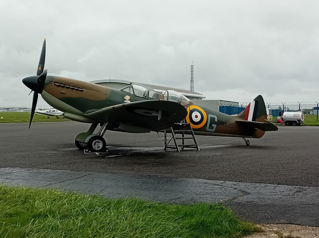
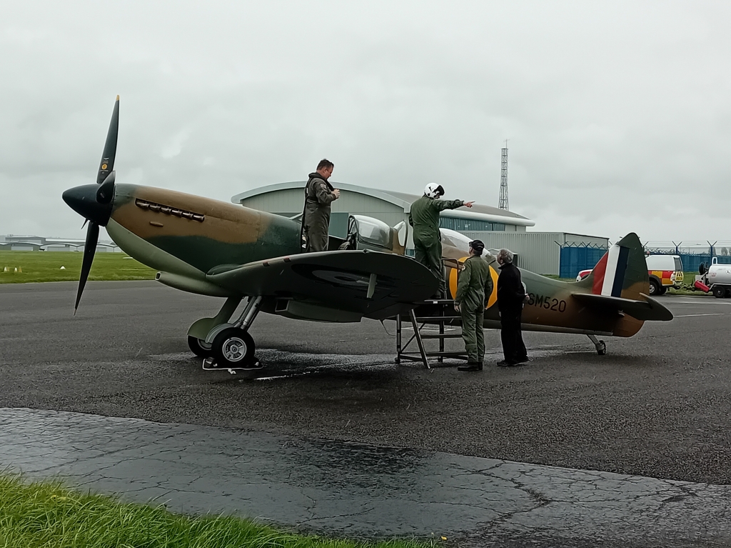
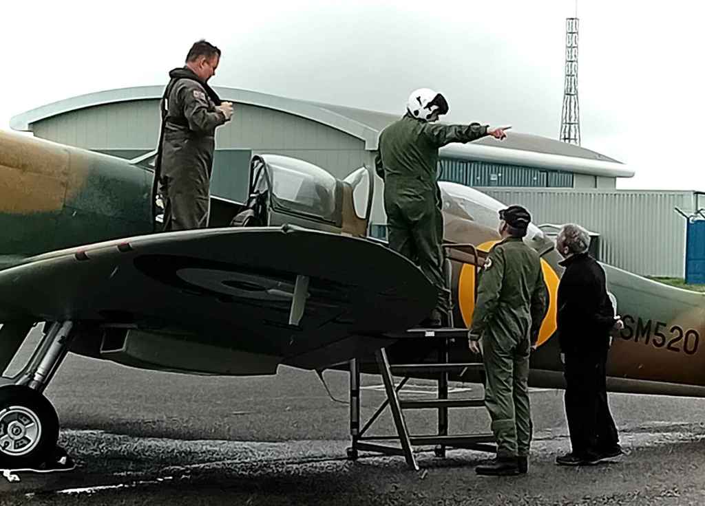
Spitfire SM520 was built by Vickers Armstrong at their Castle Bromwich factory in 1944 as a single seat Mark H.F.IXe high level fighter and delivered to the RAF on 23 November of that year. With the war in Europe coming to an end she was placed in storage until 1948 when she was sold to the South African Air Force.
After a major flying incident, SM520 was scrapped but was saved and went into private ownership. Later she was converted to a two-seater.
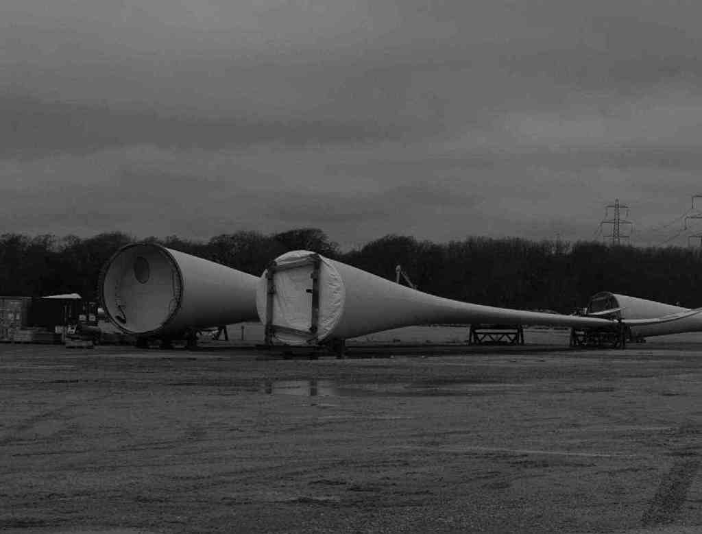
MHI Vestas, employs around 50 people at the former Fawley Power Station site. The company brings wind turbine blades to Fawley by special boat. The blades are manufactured on the Isle of Wight, where more than 700 people are employed. Each blade is 262 feet long. They are stored at Fawley after being finished and painted. They are then taken by sea to Portsmouth where they are then taken on to their wind farm sites.


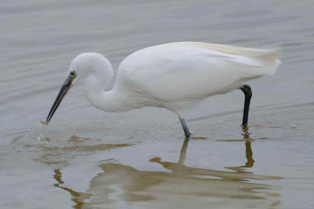
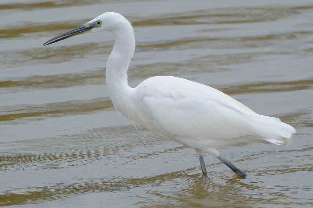
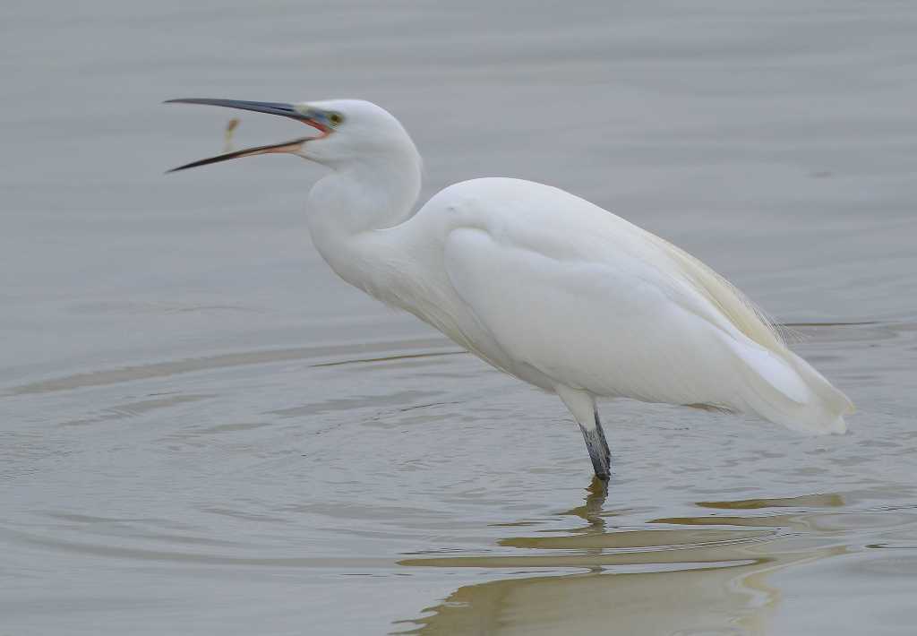
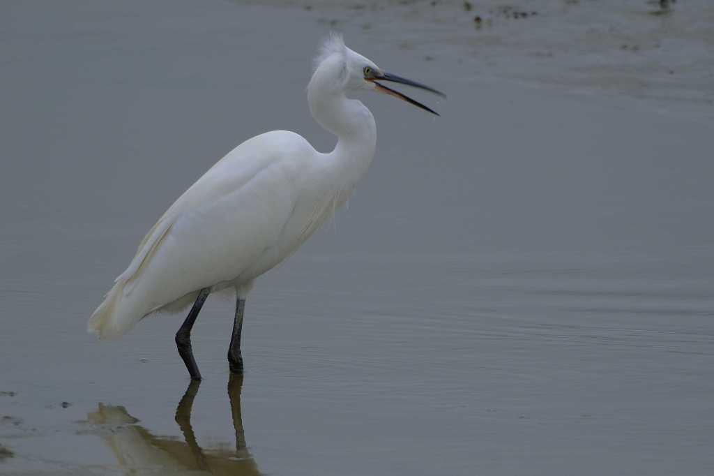
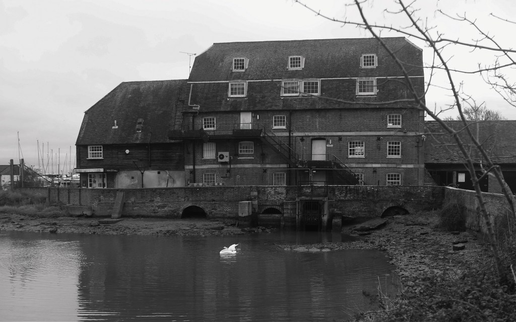
A Little Egret in the Mill Pond at Ashlett Mill on Southampton Water.


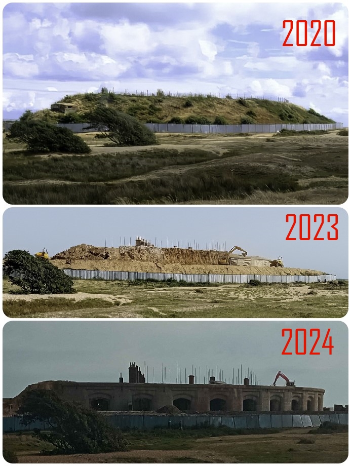
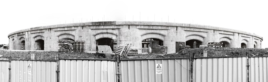
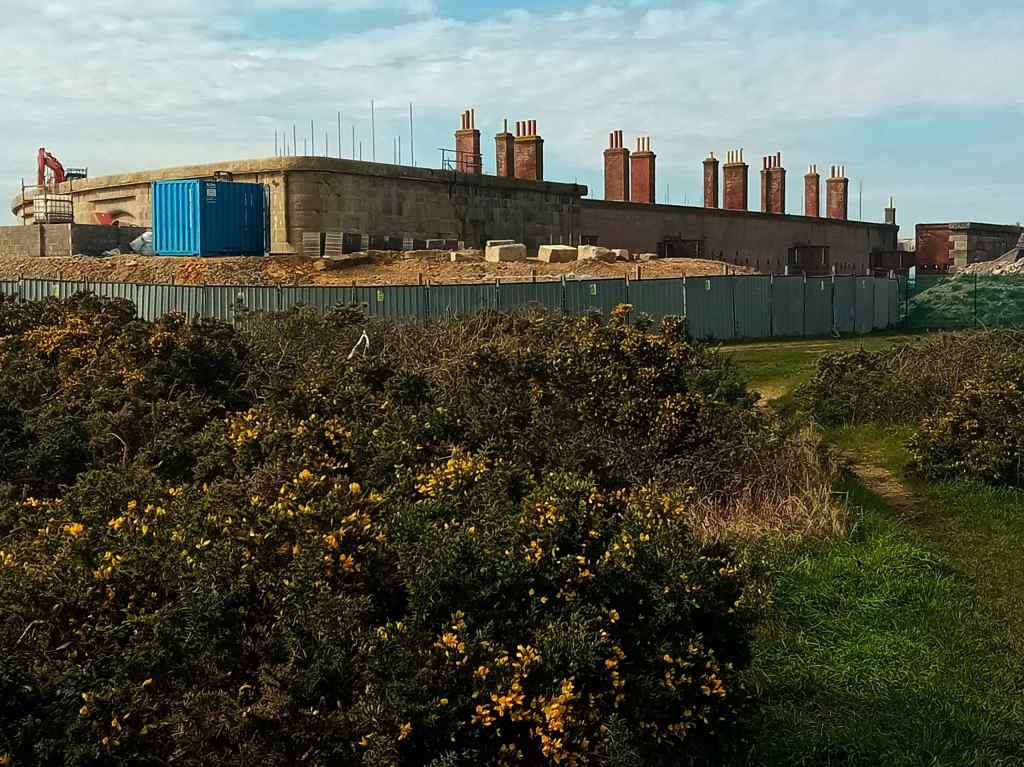
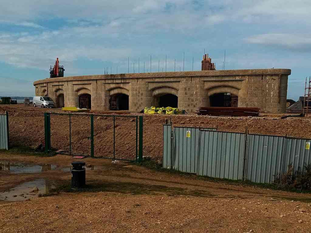
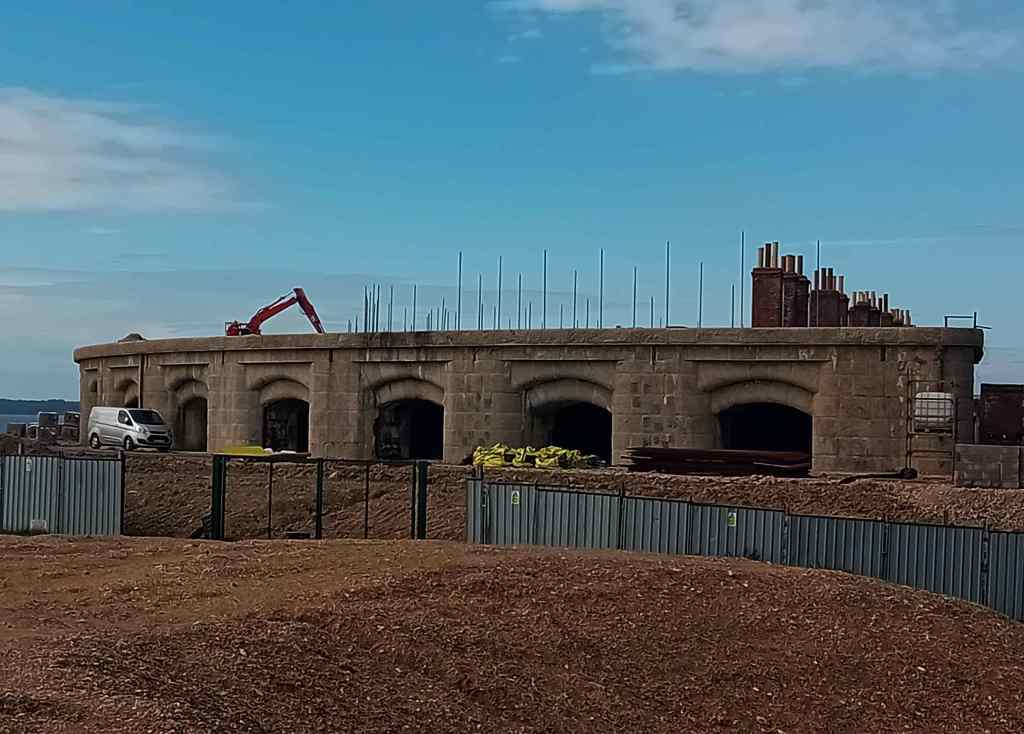
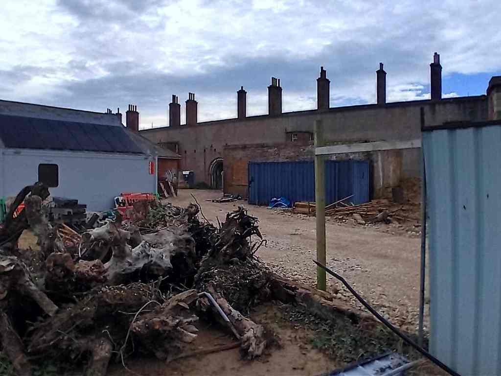
I last posted about the Fort Gilkicker redevelopment in September 2023 today is an update on the continued work on this Victorian fort. The link below is to my old posts. You can see how much of the original building has been uncovered.


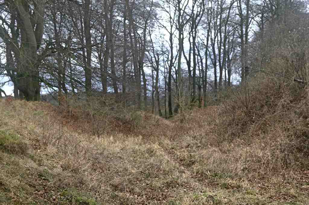
Danebury Iron Age Hill Fort Local Nature Reserve. The site is an Ancient Monument and the area is open to the public.

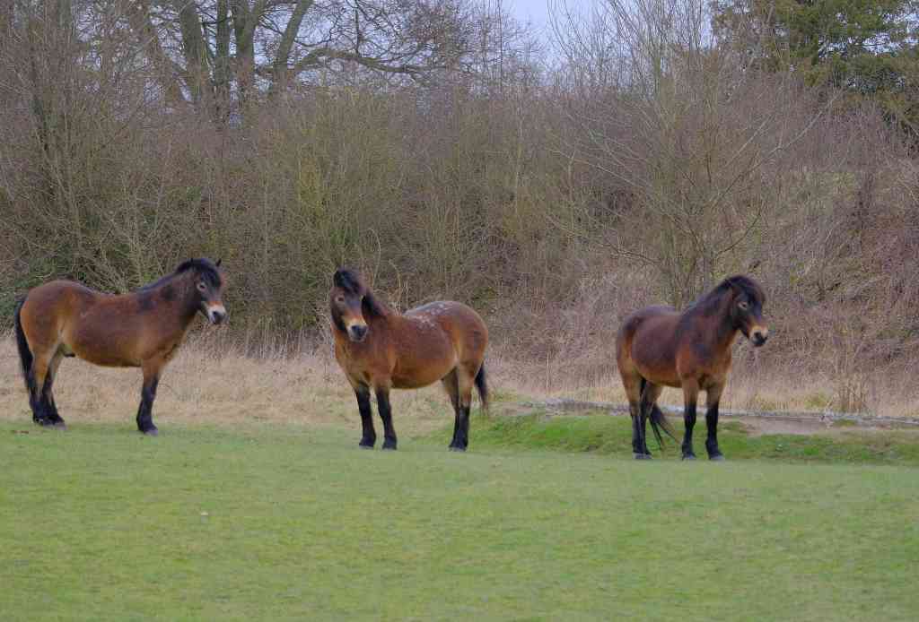
Rare breeds on the hill – Exmoor Ponies and Highland cattle.


At Peel Common roundabout between Lee-on-the-Solent and the naval base HMS Collingwood. This is a statue of Daedalus standing eight metres high on the grounds of what used to be the Royal Naval Air Station Lee-on-Solent, also known as HMS Daedalus.
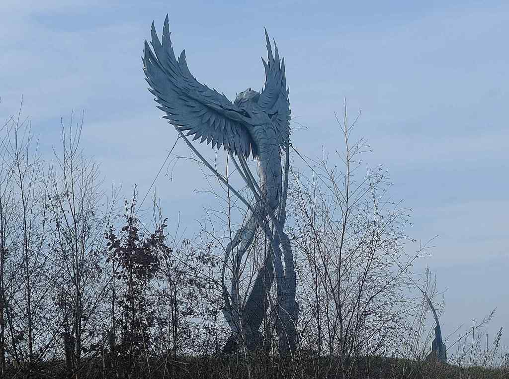
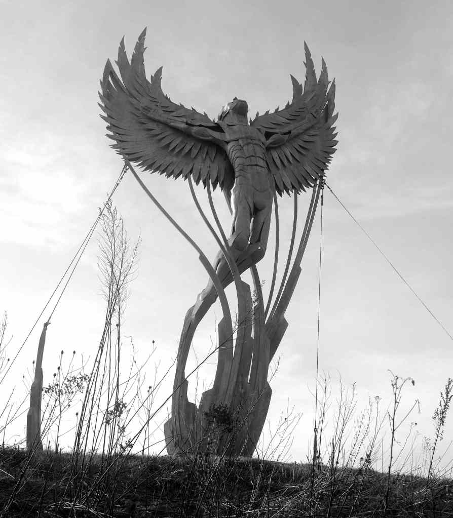
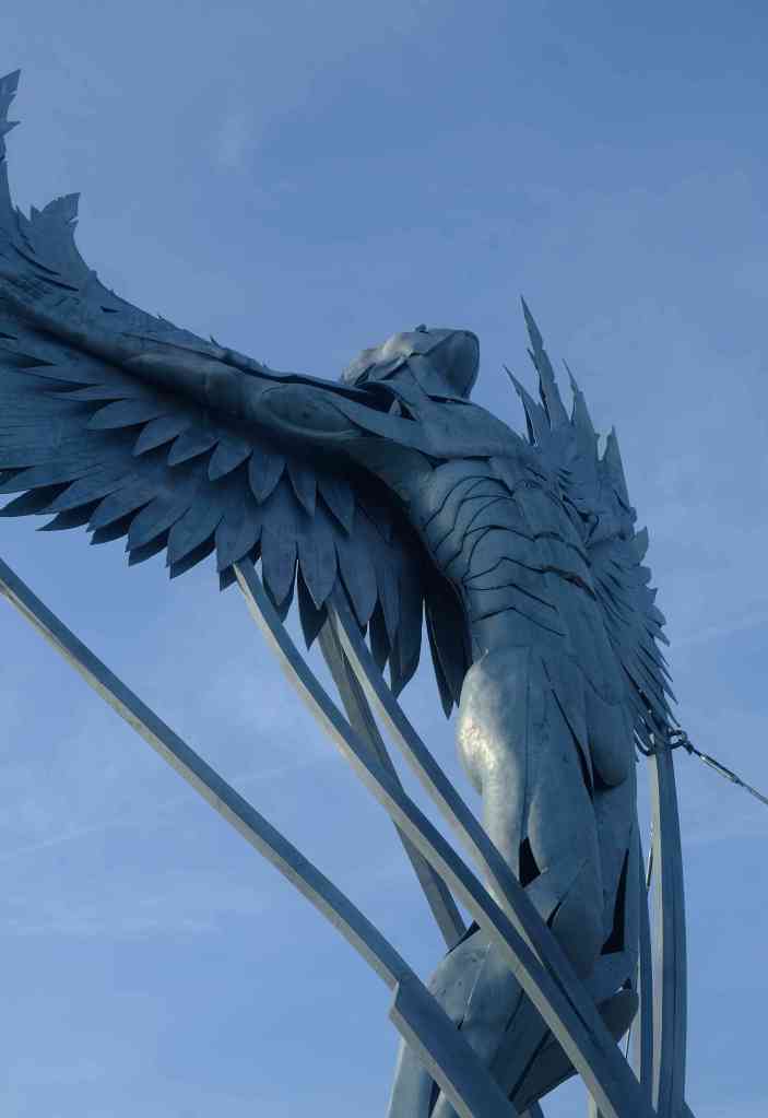
In Greek mythology. Daedalus constructed wings for his son, Icarus, from feathers of various sizes, thread, and beeswax – he shaped them to resemble a bird’s wings. When both were prepared for flight, Daedalus warned Icarus not to fly too high, because the sun’s heat would melt the beeswax holding his feathers together, Icarus disobeyed his father and began to soar upward toward the sun. Without warning, the sun melted the wax and they fell off. Icarus kept flapping his “wings”. But he realized he had no feathers left. He was only flapping his featherless arms. The feathers fell like snowflakes, and down, down, and down he went to this death into the sea.
,
