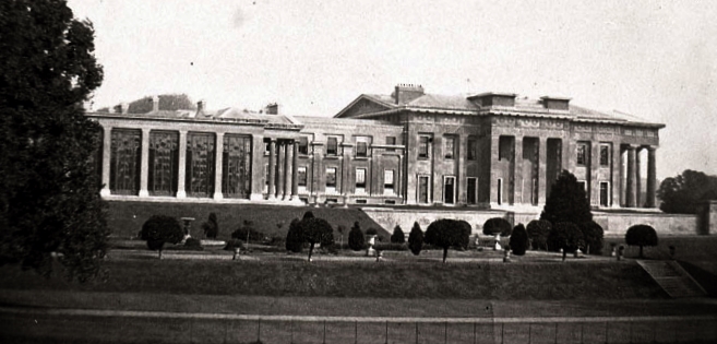
Saved by public outcry in 1975 from demolition Northington Grange, near Winchester in Hampshire, is a fine example of Greek Revival architecture. The mansion owes its present appearance to the architect William Wilkins, who, between 1809 and 1816, transformed a modest 17th-century building into something that looked like an Ancient Greek temple. Wilkins wrapped the brick house in cement, he also added classical façades, including the striking temple front supported on eight gigantic columns.
Today the Grange is used as a wedding venue and a venue for operas. The outside and some of the grounds of the mansion are open to visit and in the care of English Heritage.

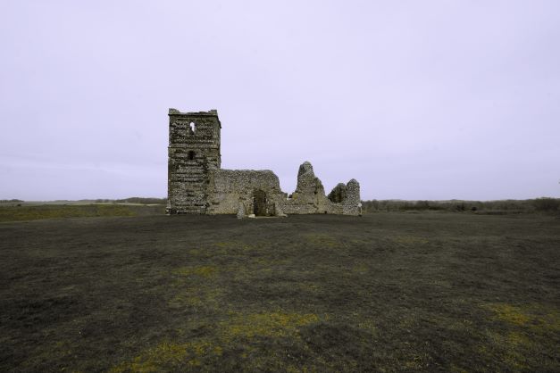
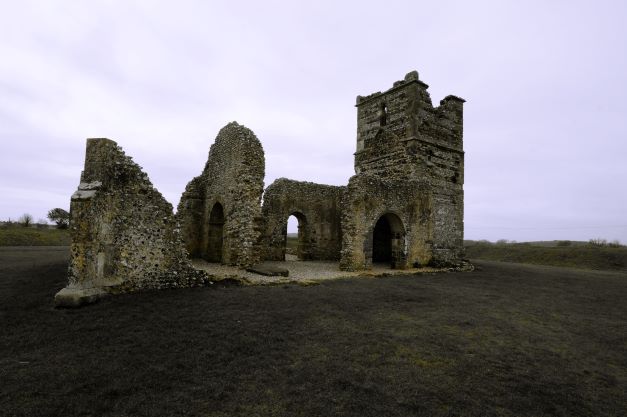
On this visit the 1st since last year there were silhouettes in the fields around the edge of the acsess area (these fields were parts of the original estate). The site is not staffed and their were no information boards to explain why they had been placed on site. They seem to reflect victorian rural life.